May 2020
Monthly Overview - May 2020
Slightly Wetter May
Precipitation was near to above normal across most of the Midwest in May
(Figure 1). Region-wide precipitation was 4.54 inches which was 0.34 inches above normal. Some wetter areas included southern Missouri, northeastern Illinois, and northeastern Lower Michigan, where amounts 175 percent of normal were observed
(Figure 2). The only areas that were significantly drier than normal were northern Minnesota and the U.P. of Michigan. Most of these areas had less than 75 percent of normal, with most of northern Minnesota receiving less than half the normal amount. Thunderstorms scattered precipitation throughout the month as several large-scale systems stalled in the region. Some of the heaviest rain fell from May 17-19
(Figure 3), with amounts recorded over six inches during that period.
Widespread Cooler Temperatures
Cooler temperatures prevailed across most of the Midwest in May (Figure 4). Midwest temperatures were 57.8°F which was 1.6°F below normal. A very cold first half of May led to the departures as the second half of the month was slightly warmer than normal. Temperatures dipped below freezing throughout the Upper Midwest and Great Lakes, with areas as far south as Missouri receiving a freeze in early May. One of the coldest mornings was on May 9
(Figure 5), where temperatures below 20°F were common in northeastern Minnesota and the U.P. of Michigan. More than 1,000 daily low maximum and minimum temperature records were tied or broken through mid-May across the region (Figure 6).
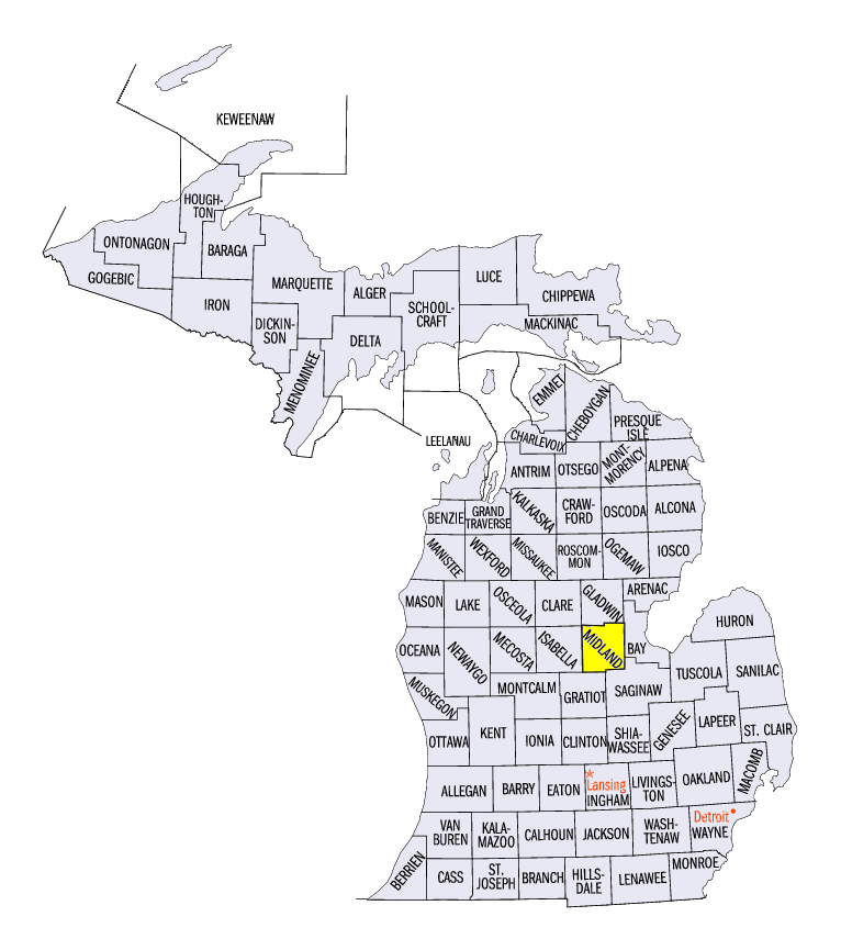
Midland, MI Dam Breach
Significant rainfall in Lower Michigan led to a catastrophic dam breach near Midland, MI (Midland County) on May 19
(Figure 7). Heavy rain during the three-day period from May 17-19 along with structural deficiencies in the upstream Edenville Dam led to a wall of water on the Tittabawassee River. A crest of over 35 feet was recorded near Midland, breaking the previous record of 33.9 feet. The city of Midland reported that it evacuated nearly 11,000 residents in less than 12 hours with no loss of life.
May Snowfall
Cold temperatures from May 8-10 led to snowfall in the Great Lakes Region (Figure 8). Amounts over an inch fell in northern Minnesota, while lake-effect snow led to amounts over 2 inches in parts of Michigan. Light snow also fell along Lake Erie in Ohio.
Planting Ahead of Schedule
Farmers made the most of their days in the field as planting was largely ahead of schedule across the Midwest according to USDA NASS. Weekly crop progress reports showed corn and soybean planting well above the five-year average, especially in Iowa, where corn was 96 percent planted and soybeans were 86 percent planted in the May 17 report. As of the May 31 report, every state was at or ahead of the five-year average for corn
(Figure 9) and soybeans (Figure 10) except for Kentucky corn.
Drought-Free Period Reaches 29 Weeks
While abnormally dry conditions expanded in the Midwest in May, the region remained drought-free throughout the month
(Figure 11). As of the May 26 U.S. Drought Monitor, the region recorded 29 consecutive weeks without drought. This was the second longest period in the history of the U.S. Drought Monitor (2000-2020), where the longest period was 32 weeks from January 1-August 6, 2019. Since January 1, 2019, 61 of 74 weeks were free of drought.
Less Severe Weather
Severe weather was less prevalent than usual in the Midwest in one of the most active months of the severe weather season. More than 600 reports of strong winds, large hail and tornadoes were reported across the region. This was less than half the number of reports across the region in 2019 (Figure 12). Colder weather in the first half of May limited thunderstorm activity, and only 5-7 days during the month produced widespread severe weather. Tornado reports were also about a third of 2019’s May total. All these tornadoes were reported as weak EF-0 or EF-1 tornadoes or landspouts.
Wetter Spring with Normal Temperatures
Precipitation across the Midwest was largely above normal for spring (Figure 13). March through May was 11.09 inches which was 1.03 inches above normal. Very wet conditions in March and wetter weather in May were offset by a slightly drier than normal April across most of the region. The only major areas with a drier than normal spring were western Iowa and most of Minnesota. Some areas of northern Wisconsin and central Indiana also had below-normal precipitation. Meanwhile, areas in southern Missouri and southeastern Kentucky were substantially wetter than normal. Most of these areas received more than 150 percent of normal.
Temperatures were near normal across the entire Midwest (Figure 14). Regionwide temperatures were 48.0°F which was 0.4°F below normal. Only a few areas in northwestern Minnesota and the U.P. of Michigan were 1-2°F below normal. Cooler temperatures in April and May offset what was a very warm March across the Midwest.
-BJP-